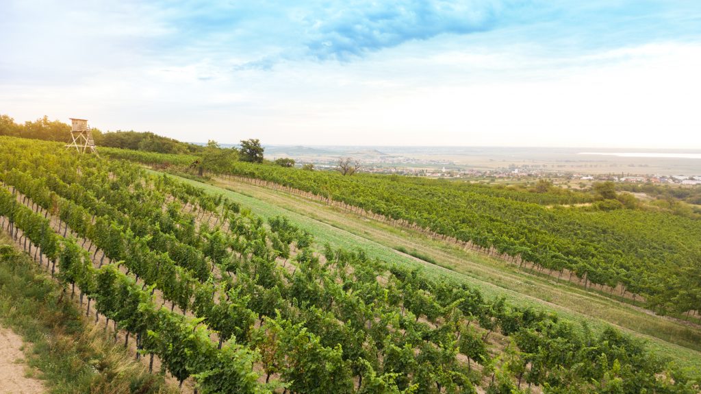
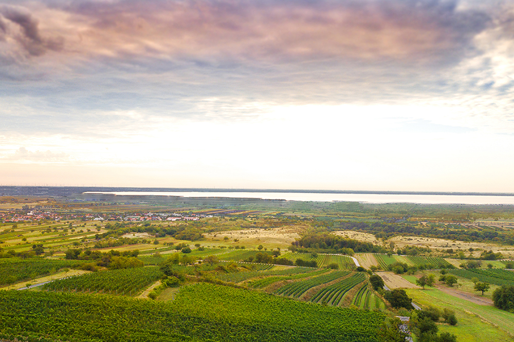
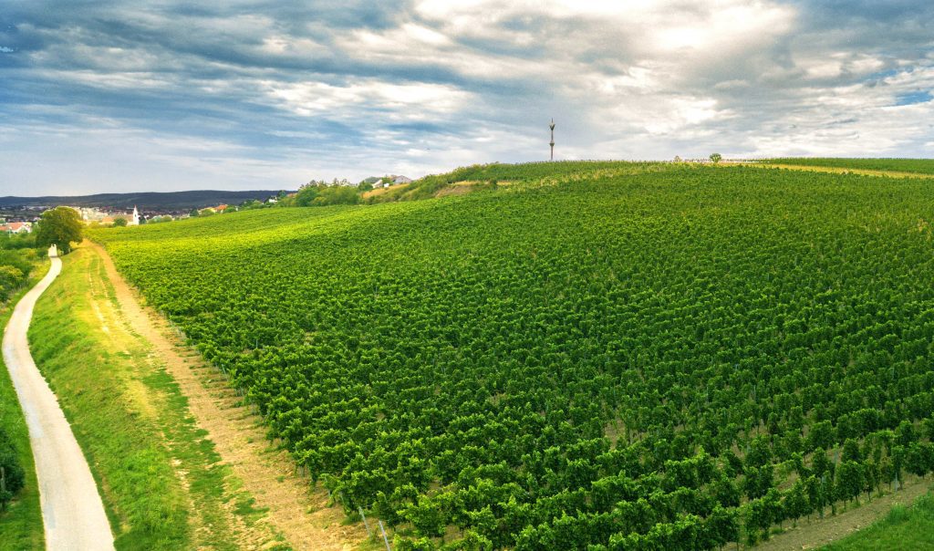
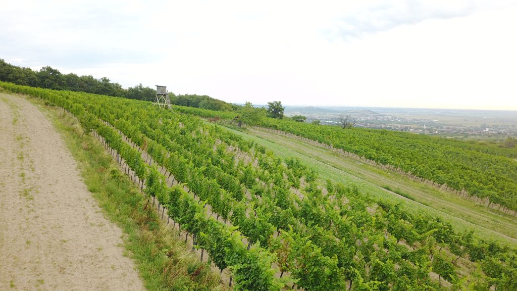
Kirchberg is still considered one of the classic premium terroirs in Burgenland and is one of our Höpler Estate’s top sites.
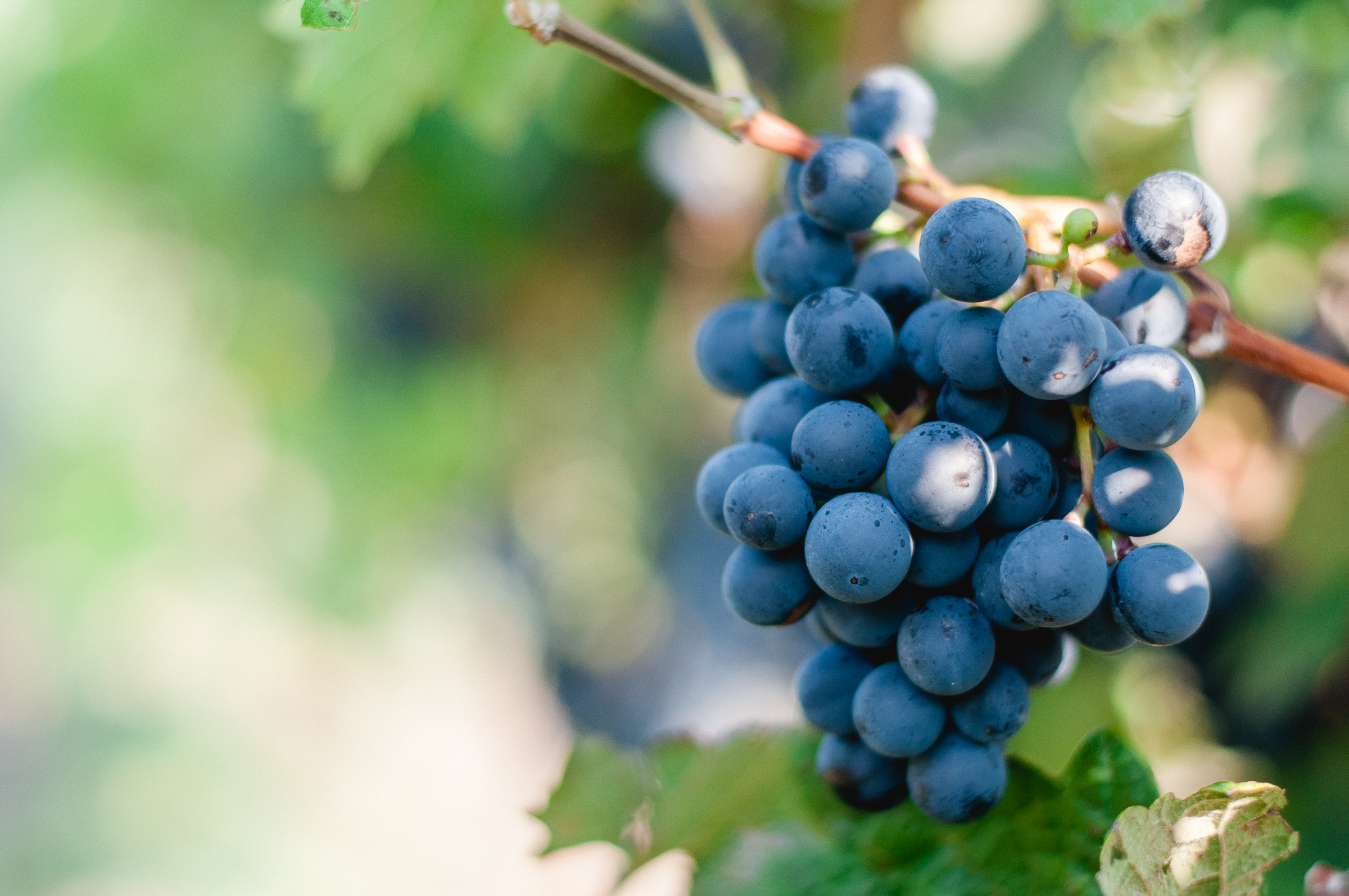
Grüner Veltliner, Blaufränkisch, St. Laurent, Merlot and Cabernet Sauvignon ripen beautifully on its slopes. The reflection from Lake Neusiedl and the mild Pannonian climate ensure that the fruits ripen perfectly and develop their typical flavour.
Single Vineyard: Grüner Veltliner Kirchberg and Blaufränkisch Kirchberg
Aspect: South-eastern direction 8-12% gradient
Soil: Light brown soil with chalk pebbles and larger stones. At 50cm depth there is chalk bedrock mixed with sandy loam.
Characteristics: A prized site and at 8ha our largest vineyard. First planted by the Cistercean Monks in 1203. We produce two highly regarded single vineyard wines from this site
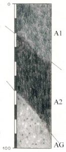
Size of the soil shape: 255 ha = 1.1% of the mapped area
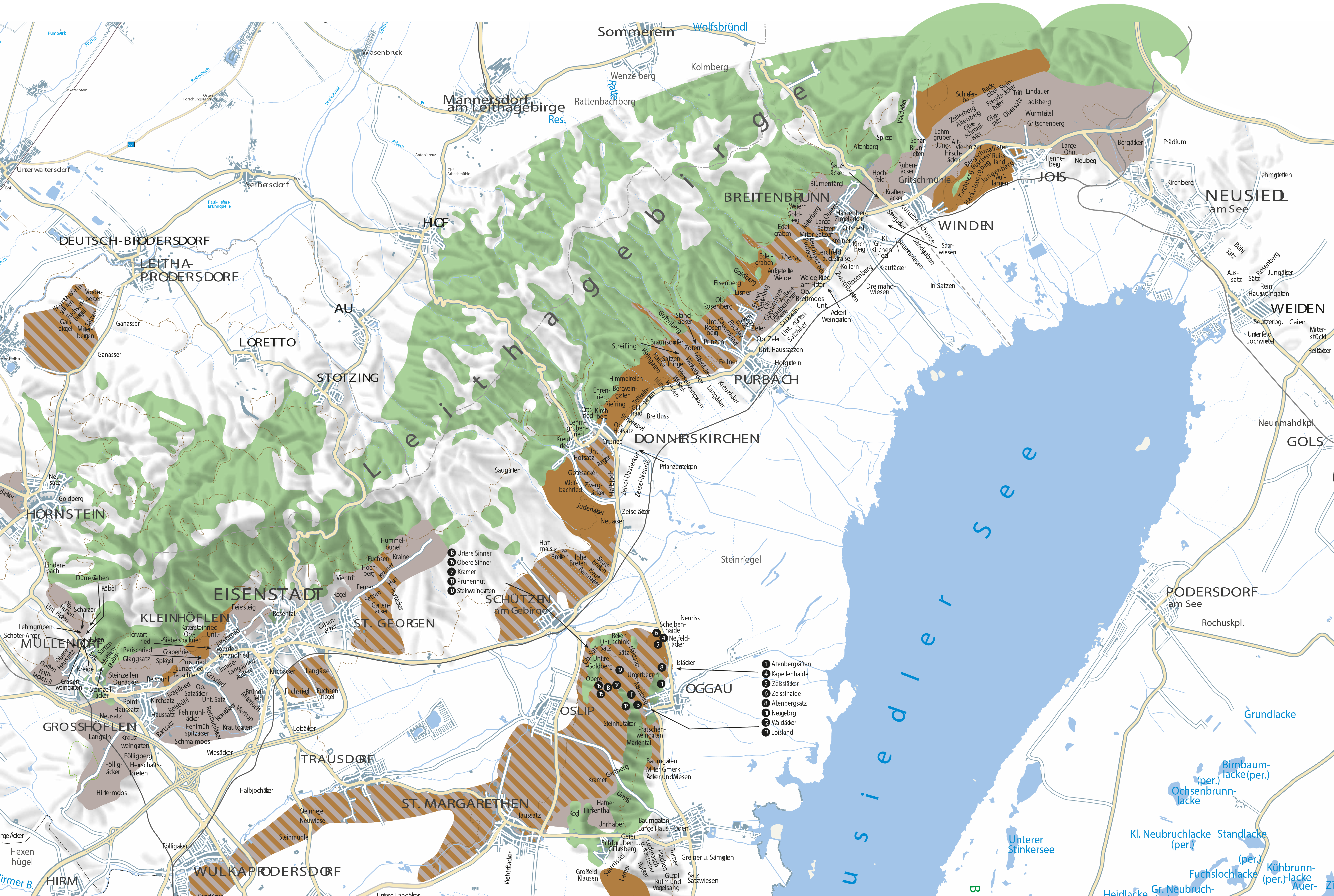
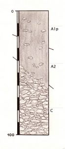
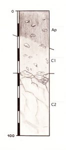
Location and occurrence: Landscape area “Leithagebirge”; on back and slopes, even to slightly sloping; in the upper floor. Jois, Neusiedl am See and Winden am See.
Soil type Eurendsina from limestone rubble (detritic Leitha limestone).
Water conditions: Dry; low storage capacity, moderate permeability
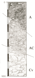
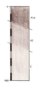
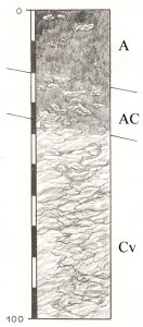
Horizons: (each lower limit in cm) A (20-40); AC (60-70); Cv (100)
Soil type and coarse fraction: A, AC sandy loam with moderate to high coarse content (gravel, stones, coarse stones)
Cv calcareous rubble
Humus conditions: A, AC slightly humus to medium humus
Lime content: Very calcareous
Soil reaction: Neutral to alkaline
Risk of erosion: Not endangered
Machinability: Processing made difficult by coarse fraction
Natural land value: Medium-quality arable land
Other Information: When using arable fields, the Ap-Horizont (0-25/30cm), when using the vineyards, Arig-Horizont (0-40cm)
 Size of the soil shape: 255 ha = 1.1% of the mapped area
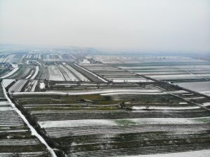
 Size of the soil shape: 2517 ha = 9,4% of the mapped area.
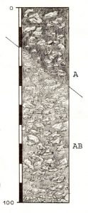 Size of the soil shape: 130 ha = 0.6% of the mapped area
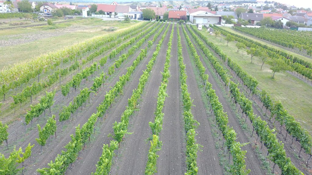
 Size of the soil shape: 250 ha = 1.1% of the mapped area
 Size of the soil shape: 15 ha = 0.1% of the mapped area
 Size of the soil shape: 437 ha = 1.6% of the map area
 Size of the soil shape: 239 ha = 0.9% of the map area